South Lake Tahoe is located on the California–Nevada border, El Dorado County, California, USA.
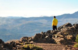
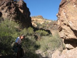
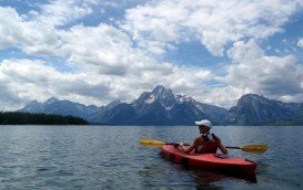
Lake Tahoe is a beautiful place, ideal for hiking. There are about seven very popular and well traveled trails in the South Lake Tahoe area. Easy walking trails are three, Moraine, Lake of the Sky and Angora Lakes. These three trails are kind of flat.
The Moraine Trail is a lovely nature walk of about 1 mi/1.6 km (it’s a one way trail) along the shoreline of Fallen Leaf Lake and a forest. Lake of the Sky Trail at the Lake Tahoe Visitors Center is the shortest by 546 yd/0.5 km of the way. Angora Lakes Trail is about 0.5 mi/0.8 km. One difficult and longer trail is Echo Lakes, a short, 2.5 mi/4 km hike that drives you to the northeast of Upper Echo Lake.
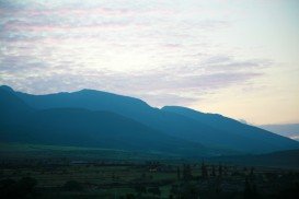
Other lakes that require longer treks are Tamarack Lakes, Lake of the Woods, Aloha Lake and Lucile and Margery Lake. You can hike as long as you like and enjoy the beautiful forest scenery, regardless how deep you go in the forest.
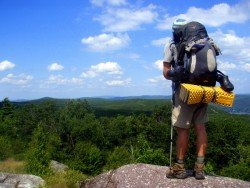
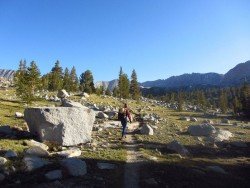
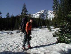
For the experienced hikers, South Lake Tahoe has to offer a number of options, depending on how long you want to wander in wildness and how hard you are willing to work. Glen Alpine Trail is rated as moderate to difficult. Grass Lake is located two miles from the trail-head.
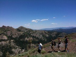
Alpine Lakes Heather, Aloha and Susie are 5, 6 and 4 mi/8 ,9.6 ,6.4 km each, along a single route, which includes a beautiful small waterfall. If you want to exercise really good and are very experienced, you can try Clark Trail, which is a loose shale, steep grade, the Upper Angora Lake as a payoff and the Mt. Tallac Trail.
First half of Mount Tallac Trail, Cathedral Lakes and Floating Isle are not intensive. Over Cathedral Lake the trail heads up to the face of Mt. Tallac and is approximately 3000 ft/914.4 m above the trail-head. Weather changes significantly.
You should bring a lot of water, a windbreaker and schedule carefully to leave time for the return trip. Entire route from trail-head to mountain top is 5 mi/8 km and it is one way. If you plan to stay on the trail in every trip during daytime, you need to get a Wilderness Permit at each trail-head.
If you plan to camp you should visit Forest Service Visitor Center to purchase maps, sage advice, brochures and of course the necessary permits.