Ebbetts Pass, Angels Camp
Bear Valley is a ski area located near Angels Camp, on highway 4, between Lake Tahoe and Yosemite, approximately 3 hours southeast of Sacramento, California, USA.
Home > MOUNTAIN SPORTS > Mountain Biking > Herring Creek, Sonora
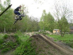
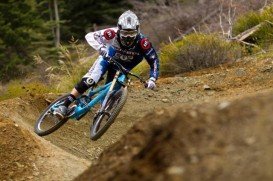
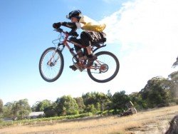
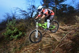
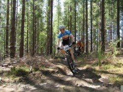
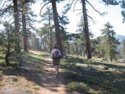
A popular sport at Sonora Pass is mountain biking. There are mountain biking trails along the Sonora Pass highway. You will find everything you need from gentle, railroad grades to steep, single tracks. There are great logging roads, perfect to explore.
Purchase a map of Stanislaus National Forest at the ranger station in MiWuk or Pinecrest and also a map of Toiyabe National Forest at the Bridgeport ranger station. One of the most famous trails is Herring Creek Loop. It is a 12 mi/19.3 km, moderate ride with elevation gain of 1000 ft/305 m.
The loop follows dirt roads, starting from the Herring Creek campground up to the headwaters of Herring Creek, past the Bloomer Lake, down through Three Meadows and then back to the starting point. If you are an intermediate rider, you will love this ride, because it will give you a great workout.
Pick up a map at the Hub in Pinecrest to find other connecting trails, leading up to Pinecrest Peak.
Bear Valley is a ski area located near Angels Camp, on highway 4, between Lake Tahoe and Yosemite, approximately 3 hours southeast of Sacramento, California, USA.
Sonora Pass is located near Pinecrest, Tuolumne County, California, USA. It is off of Highway about 60 mi/96.5 km east of Sonora.
Mossel Bay is a beautiful coast, located in between Cape Town and Port Elizabeth, at 400 km/248 mi of distance both ways. It is surrounded by the sunbathed peninsula and the beautiful waters of the Indian Ocean. It offers a mild climate all year round, making it a perfect winter break destination.The weather is influenced by the Aghulas current of the Indian Ocean and by the presence of the Outeniqua mountains.
Adelaide, the liveliest city in Australia, is the capital of South Australia state. It is situated on the Adelaide Plains and more specifically at the north side of Fleurieu Peninsula. The city is built next to Torrens River and is surrounded by the Mount Lofty Ranges and the Gulf St Vincent. Prospect Hill is located behind Kuitpo Forest, leading down Blackfellows Creek Road to Mt Magnificent Conservation Park
Sonora Pass is located near Pinecrest, Tuolumne County, California, USA. It is off of Highway about 60 mi/96.5 km east of Sonora.
Mount Shasta is located in northern California, east of Interstate 5 along SR89, between Mount Shasta city and McCloud city, California, USA.
Soda Springs ski resort is located near Soda Springs, Nevada County, California, USA. Soda Springs ski resort is just off of Highway 80, near the Donner Summit.
Badger Pass Ski Area is a small ski area which is located in Yosemite National Park, near Mariposa, California, USA.
Bear Valley is a ski area located near Angels Camp, on highway 4, between Lake Tahoe and Yosemite, approximately 3 hours southeast of Sacramento, California, USA.
Mammoth Lakes is located near Mammoth Mountain, in California’s eastern Sierra about 100 mi/161 km south of Nevada State Line, 9 mi/14.5 km northwest of Mount Morrison, at an elevation of 7880 ft/2402 m, Mono County, California, USA.
Sonora Pass is located near Pinecrest, Tuolumne County, California, USA. It is off of Highway about 60 mi/96.5 km east of Sonora.

