Sisson Callahan National Recreational Trail, Redding
Mount Shasta is located in northern California, east of Interstate 5 along SR89, between Mount Shasta city and McCloud city, California, USA.
Home > MOUNTAIN SPORTS > Backpacking / Trekking > Lyons Reservoir, Sonora
Trails are spread everywhere across the mountains. There is something for everyone in the Sonora Pass region, as there are all kind of trails, easy, intermediate and high elevation and also long day adventures. One of the best trails to go backpacking is Twain Harte to Lyons Reservoir – Railroad Grade.
It is a 4.5 mi/7.24 km, moderate trail with elevation gain of 200 ft/61 m. It is a gentle trail to Lyons Reservoir, that follows an old Sugar Pine Railroad grade. In early spring, it usually opens at an elevation of 4000 ft/1219 m. Lyons is a beautiful lake to visit. Hike around the lake on an easy level trail across the dam.
At the south end of the lake is the dam, which has a dramatic spill way, draining the lake into a magnificent picturesque canyon below the dam. In late summer and fall the lake drops, as the water is used by the Tuolumne water district. You can camp near and around the lake.

Mount Shasta is located in northern California, east of Interstate 5 along SR89, between Mount Shasta city and McCloud city, California, USA.
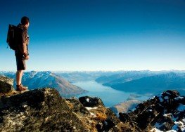
Arrowtown is a small, former gold-mining town, situated in Otago region, in the South Island, New Zealand. It is only 20 min drive from Queenstown (connected through Shotover Gorge) and lies on the banks of Arrow River, one of the richest sources of gold in the 1860's.
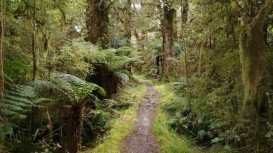
Te Anau is a small town, situated in Fiordland region, in the South Island of New Zealand.
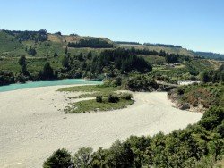
Methven is a small town in Canterbury region of the South Island. It is only 1.5 h drive at the west of Christchurch, the second largest city of New Zealand and is situated close to Mount Hutt, in the heart of Southern Alps.
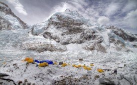
If you have ever dreamed of walking on high mountains through vast remote areas, and majestic untouched nature surrounded by the highest mountains of the world, then the Everest Transverse Trek is an epic journey that will fulfil your wildest desires for adventure.
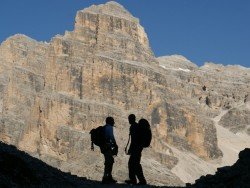
The Dolomite area offers a wide variety of trekking itineraries with different levels of difficulty for the sport's fans. With countless paths and routes in a breathtaking landscape, the entire area seems to be the ideal destination for hiking on the mountains! The choices are endless in the Dolomite's open playground arena such as Arabba, Creppe Rossa, Selva di Cadore, Sasso Bianco, Val Civetta, Croda da Lago, Val di Fassa.
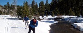
Bear Valley is a ski area located near Angels Camp, on highway 4, between Lake Tahoe and Yosemite, approximately 3 hours southeast of Sacramento, California, USA.
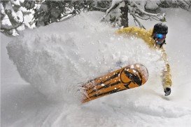
Squaw Valley Ski Resort is located in Olympic Valley, California, USA. It is one of the largest ski areas in the US after Heavenly and was the site of the 1960 Winter Olympics.
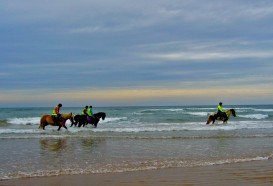
Sonora Pass is located near Pinecrest, Tuolumne County, California, USA. It is off of Highway about 60 miles/96.5 km east of Sonora.
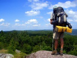
Tamarack Lodge Resort is located in Mammoth Lakes, near Mammoth Mountain, in California’s eastern Sierra about 100 mi/161 km south of Nevada State line Mono County, California, USA.
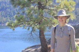
Sonora Pass is located near Pinecrest, Tuolumne County, California, USA. It is off of Highway about 60 mi/96.5 km east of Sonora.
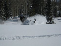
Bear Valley is a ski area located near Angels Camp, on highway 4, between Lake Tahoe and Yosemite, approximately 3 hours southeast of Sacramento, California, USA.
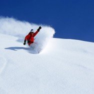
Badger Pass Ski Area is a small ski area which is located in Yosemite National Park, near Mariposa, California, USA.
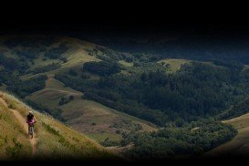
Bear Valley is a ski area located near Angels Camp, on highway 4, between Lake Tahoe and Yosemite, approximately 3 hours southeast of Sacramento, California, USA.

