Bjorkliden, Kiruna
Bjorkliden lies at 250 km / 155 mi inside the Arctic Circle. It's one of the world's northernmost ski resort where modern ski has been born.
Home > MOTOR SPORTS > Snowmobile > Sonora Pass, Toiyabe National Forest
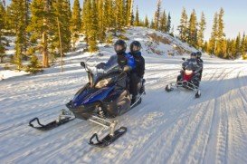
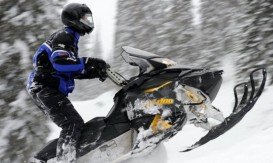
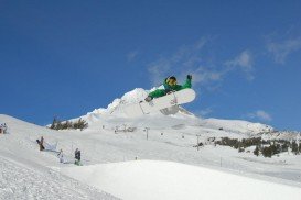
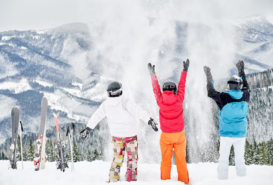
In Tuolumne County, along Highway 108, snowmobiling is a big attraction. At the end of the plowed portion of Highway 108, 6 mi/9.6 km beyond Strawberry is the Sno-Park, a favorite launching point for snowmobile lovers. Sno-Parks are parking areas, that are maintained in the winter, so people can park safely and experience their winter activities, such as snowmobiling.
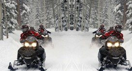
In order to use a Sno-Park, you must have permit. There are three routes, that can be used by snowmobile enthusiasts in that area. Sno-Park to Eagle Creek is a 12 mi/19.3 km, groomed, snowmobile route along Highway 108 for about 5 mi/8 km and then follows up the Eagle Creek Road to Eagle Meadow, in the Stanislaus National Forest.
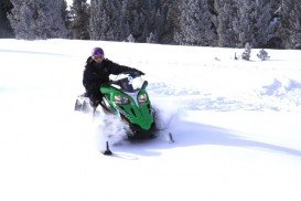
There are miles of open country around Eagle Meadow, available for snowmobiling. Forest Road 5N09 is located in the Eagle Meadow area and is a short loop, groomed by the Forest Service. Sno-Park to Dardanelle is a 13 mi/21 km route of Highway 108, starting from the Sno-Park and leading to the Dardanelle Resort, making it a popular snowmobile route.
The Dardanelle Resort was open for many years during winter and offered restaurants, cabin rentals and other necessities. Unfortunately, recently the Resort has been closed in winter.
Bjorkliden lies at 250 km / 155 mi inside the Arctic Circle. It's one of the world's northernmost ski resort where modern ski has been born.
Sonora Pass is located near Pinecrest, Tuolumne County, California, USA. It is off of Highway about 60 mi/96.5 km east of Sonora.
If you want to have your best winter in the most appropriate Canadian place, Cap Chat is available only for you. Cap Chat is a town in the Canadian province of Quebec, in the Regional Country Municipality of Haute-Gaaspesie. It is one of the most well-known tourist destinations to enjoy yourself. Many people from all over the world choose to spend their time in this amazing spot.
Mount Shasta is located in northern California, east of Interstate 5 along SR89, between Mount Shasta city and McCloud city, California, USA.
Panorama Mountain Village is a ski and golf resort in Canada, situated in the Purcell Mountains of southeastern British Columbia. Thanks to its rolling cliffs and stunning view of Rocky Mountains, this place attracts many people from all over the world. If you want to make a priceless gift to yourself, visit this place as soon as possible.
An old fashioned mean of transportation like snowmobile, it has became nowadays an exciting sport with lots of fans. In Dolomites area, especially in Cortina d ’Ampezzo, a well-known winter resort, snowmobiling is largely practiced for touring the mountains and the small valleys in a funny, stimulating and relaxing way.
Mammoth Mountain is located in California’s eastern Sierra, at 100 mi/161 km south of Nevada State line and 50 minutes from the Eastern Gate of Yosemite National Park.
Mammoth Lakes is located near Mammoth Mountain, in California’s eastern Sierra about 100 mi/161 km south of Nevada State Line, 9 mi/14.5 km northwest of Mount Morrison, at an elevation of 7880 ft/2402 m, Mono County, California, USA.
South Lake Tahoe is located on the California–Nevada border, El Dorado County, California, USA.
Sonora Pass is located near Pinecrest, Tuolumne County, California, USA. It is off of Highway about 60 mi/96.5 km east of Sonora.
Mount Shasta is located in northern California, east of Interstate 5 along SR89, between Mount Shasta city and McCloud city, California, USA.
Bear Valley is a ski area located near Angels Camp, on highway 4 between Lake Tahoe and Yosemite approximately 3 hours southeast of Sacramento, California, USA.
Tamarack Lodge Resort is located in Mammoth Lakes, near Mammoth Mountain, in California’s eastern Sierra about 100 mi/161 km south of Nevada State line Mono County, California, USA.
Bear Valley is a ski area located near Angels Camp, on highway 4, between Lake Tahoe and Yosemite, approximately 3 hours southeast of Sacramento, California, USA.