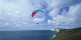
Quixada is a town of Ceara, a Brazilian state located in the northeastern part of the country. Although Ceara's fame mainly stems from the great number of its beaches, spreading at 600 km/372 mi long of coastline, the semi-arid region of Quixada is among the first choices of sportsmen from all over the world, since it is one of the most popular paragliding spots in Brazil.
The area is well known for flight distance, world record breaks during the past years; lovers of paragliding, seekers of adrenaline and pilots from all over the world meet at Quixada every November, when there are appropriate conditions for the world records to be broken and great opportunity to live the breathtaking experience of paragliding.
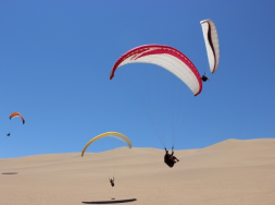
If you decide to paraglide in Morro do Urucum in Quixada, you ‘ll take off from the natural ramp of approximately 270 m / 885 ft length and land on a specified by the instructors area. You ‘ll most probably come across strong thermals, while the wind can be too strong from September to January. However, the area is considered as the best place for long distance (straight line) flight worldwide.
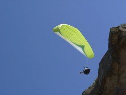
Local instructors will be eager to provide you with any guidance needed. Don’t miss this thrilling paragliding experience in an amazing natural landscape and a unique scenery in Brazil. When flying don’t miss to spot the rare beautiful monoliths.