Sourgrass, Angels Camp
Bear Valley is a ski area located near Angels Camp, on highway 4, between Lake Tahoe and Yosemite, approximately 3 hours southeast of Sacramento, California, USA.
Home > MOUNTAIN SPORTS > Backpacking / Trekking > Woodbuck Basin Trailhead, Angels Camp
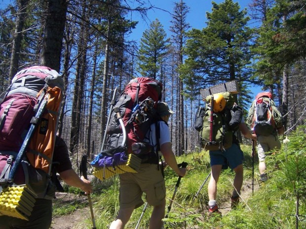
Near Bear Valley, on Highway 4 lies Lake Alpine about 50 mi/80.5 km from Angels Camp. Elevation of the lake is 7300 ft/2225 m. If you visit Lake Alpine, you should definitely go backpacking on Woodchuck Basin Trailhead. The trail will take you to the top of a ridge, which divides the Mokelumne and Stanislaus River watersheds.
It is approximately a 1.5 – 2 mi/2.4 – 3.2 km trail to Woodchuck Basin, which is located 1 mi/1.6 km east of Lake Alpine on Highway 4. You can camp around the meadow. The moment you get out of the forest, you face the amazing view of the Sierra Nevada all the way to Yosemite.
Especially in summer the scenery is breathtaking. Alpine flowers are blooming throughout the summer along the trail. Sit down, eat something and enjoy the magnificent view of the mountains around Lake Tahoe to the north and Yosemite to the south.

Bear Valley is a ski area located near Angels Camp, on highway 4, between Lake Tahoe and Yosemite, approximately 3 hours southeast of Sacramento, California, USA.
Bear Valley is a ski area located near Angels Camp, on highway 4, between Lake Tahoe and Yosemite, approximately 3 hours southeast of Sacramento, California, USA.
Sonora Pass is located near Pinecrest, Tuolumne County, California, USA. It is off of Highway about 60 mi/96.5 km east of Sonora.
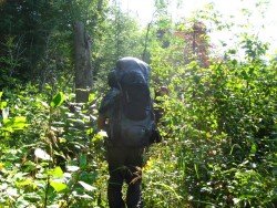
Bear Valley is a ski area located near Angels Camp, on highway 4, between Lake Tahoe and Yosemite, approximately 3 hours southeast of Sacramento, California, USA.
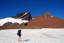
Sonora Pass is located near Pinecrest, Tuolumne County, California, USA. It is off of Highway about 60 mi/96.5 km east of Sonora.
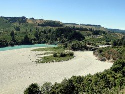
Methven is a small town in Canterbury region of the South Island. It is only 1.5 h drive at the west of Christchurch, the second largest city of New Zealand and is situated close to Mount Hutt, in the heart of Southern Alps.

Sonora Pass is located near Pinecrest, Tuolumne County, California, USA. It is off of Highway about 60 mi/96.5 km east of Sonora.
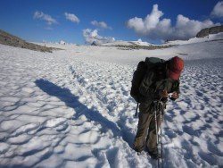
Bear Valley is a ski area located near Angels Camp, on highway 4, between Lake Tahoe and Yosemite, approximately 3 hours southeast of Sacramento, California, USA.
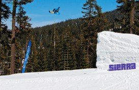
Sierra at Tahoe is a ski resort located near Twin Bridges on Hucklberry Mountain, south of Lake Tahoe, California, USA.
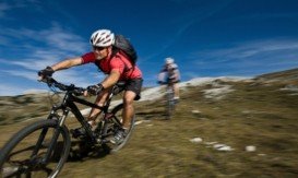
Tamarack Lodge Resort is located in Mammoth Lakes, near Mammoth Mountain, in California’s eastern Sierra about 100 mi/161 km south of Nevada State line Mono County, California, USA.
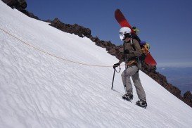
Mount Shasta is located in northern California, east of Interstate 5 along SR89, between Mount Shasta city and McCloud city, California, USA.
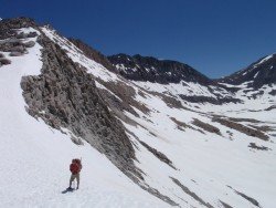
Sonora Pass is located near Pinecrest, Tuolumne County, California, USA. It is off of Highway about 60 mi/96.5 km east of Sonora.
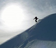
Northstar California is a ski resort, located near Truckee, California, USA. It is a very big ski resort, covering 3170 skiable acres/12.83 km².
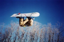
Donner Ski Ranch is a resort located on Donner Summit in the Tahoe National Forest, Nevada County, California, USA. The area has been used for skiing since 1939.

