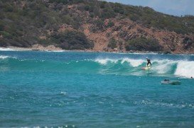
The Virgin Islands of the United States, or the U.S. Virgin Islands lie in the Caribbean Sea, east of Puerto Rico. This group of islands consist of the main islands of Saint Thomas, which is home to the capital city of the U.S. Virgin Islands, Saint John, Saint Croix, Water Island and other surrounding minor islands.The climate here is classified as tropical savanna climate, mostly affected by moderate trade winds.
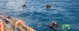
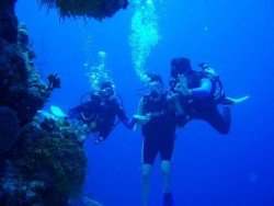
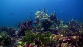
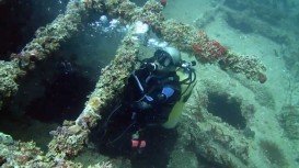
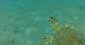
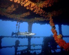
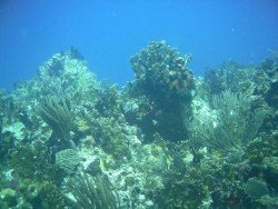
St. Thomas is home to a wide collection of great wreck dive sites. With an amazing array of coral reefs, a variety of fish species and crystal clear waters, this tropical destination guarantees an enjoyable diving experience! The majority of the dive locations are accessible by boat, but there are also some excellent dive sites just right from shore. Dive Flag is a wonderful reef that lies north of Buck Island.
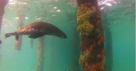
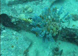
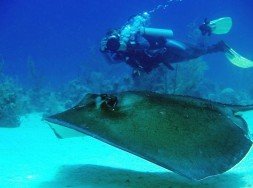
Once you descend into shallow waters, you can see a beautiful cluster of corals and schools of fish passing by. As you descend down the wall, which reaches 19.8 m/65 ft, you are able to witness an abundant marine life, full of spotted eagle rays, barracuda and nurse sharks to name just a few. The spot accommodates both the novice and experience diver, as well as photographers, because of its significant sea life.
In addition, the average water temperature varies from 75°F/24°C in winter to 80°F/27°C in summer and the visibility ranges from 10 m/32.8 ft to 30 m/98.4 ft. In the end, you should book your dive in advance, as access to the site is only by boat. So, if you want to experience unforgettable moments, Dive Flag is definitely the place to be!!!