Surfing in Botany Bay, Saint Thomas,
US Virgin Islands
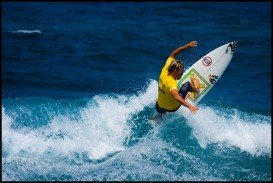
Skill Level:
Experienced Surfers
Best Wind Direction:
Southeast
Ideal Swell Direction:
North, Northeast
The Virgin Islands of the United States, or the U.S. Virgin Islands lie in the Caribbean Sea, east of Puerto Rico. This group of islands consist of the main islands of Saint Thomas, which is home to the capital city of the U.S. Virgin Islands, Saint John, Saint Croix, Water Island and other surrounding minor islands.The climate here is classified as tropical savanna climate, mostly affected by moderate trade winds.
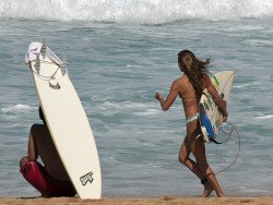
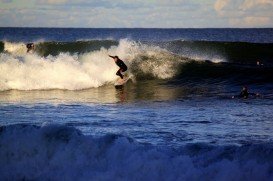
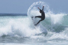
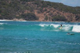
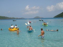
Whether you are looking for relaxation on beautiful and pristine beaches or seeking recreational sports and adventure in the invigorating turquoise waters, St. Thomas has plenty to offer! Botany Bay is situated on the north coast of the island and it is a point break with regional classic waves.
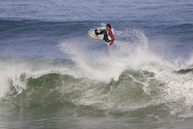
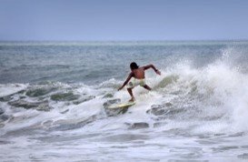
Surfing here is suitable for experienced surfers and it is advisable to visit the spot with someone who is familiar with these waters. The swell size starts working at 1-1.5 m/3-5 ft and holds up to 4 m/12 ft. The best wind direction is from the southeast and the ideal swell direction is from the north and northeast. The site provides good surf at all stages of tide, while the best tide movement is rising and falling tides. At summer the wind blows offshore 65%, at autumn it blows 62%, at winter 52% and at spring 63%.
Note that most of the surf shops here do not provide gear rentals, so maybe it is better to bring your own board. Finally, the best period for waves is from November till March. Note: be careful of sharks, urchins and localism.