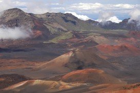
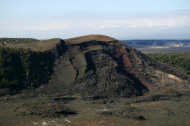
Mauna Kea is one of the five active volcanoes on the island of Hawaii, at 35 mi/56 km in the West of Hilo Town. Its peak is the highest point in the state, standing at 13803 ft/4207 m above the sea level.
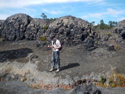
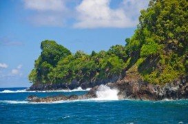
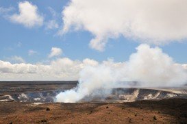
The summit of the mountain lies above the forest line and the terrain consists of mostly lava rocks and shrubs due to its alpine weather conditions. The view from Mauna Kea is breathtaking. You can see right next to it the Mauna Loa volcano and since you are in Hawaii, the nature’s diversities from low ground tropical wet temperatures to mountain high, alpine, dry and cold temperatures. It also offers one of the best star viewings in the world, as evidence of the 11 star observatories at the top.
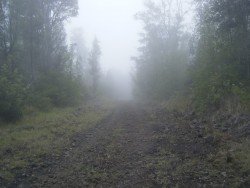
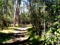
The hiking trail is 6 mi/10 km long (one way) and starts from the Visitor center where you can leave your car. At 13130 ft/4000 m the road comes along a trail going to Waiau Lake and another one leading to the summit. The route is very well marked with iron posts every few meters in between and it does not require high skill levels.
However a good fitness condition is essential for any practitioner because of the high altitude. During winter, there is snow around the peak. Hikers should wear light and layered clothes, hiking boots and warm socks and take enough snacks and water for a four to six hours hiking itinerary, although lake Waiau is a drinkable water supply. Don’t forget to take sunglasses and sunscreen with you.