Rock Climbing in Mount Baldy, San Bernardino,
California USA
Trail length:
11 mi/17.7 km
Elevation gain:
3880 feet/1183 meters
Skill level:
Class 2, strenuous
Trailhead elevation:
6246 feet/1904 meters
Top elevation:
10064 feet/3067 meters
Mount Baldy is located in San Bernardino County, on Mount San Antonio (aka Mount Baldy), California, USA. The city is located only 45 mi/72.4 km from Los Angeles.
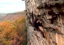
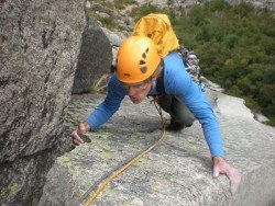
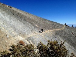
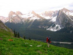
Mount Baldy is perfect for rock climbing. The summit is the highest point of the San Gabriel Mountains. The climb route is a loop with a variety of terrain and electric biotic zones. It combines the Baldy Bowl Trail (known as Ski Hut Trail) for the ascent and Devils Backbone Trail and Manker Canyon Fire Trail for the descent.
Length of trail is 11 mi/17.7 km. Elevation gain is 3880 ft/1183 m. Skill level is class 2, strenuous. Trailhead elevation is 6246 ft/1904 m and top elevation 10064 ft/3067 m. Local maps, that will be useful are Southern California Atlas and Gazetteer and USGS Mount San Antonio. Local contacts are Sheep Mountain Wilderness. Best season to climb is April through November.