Sonora Pass is located near Pinecrest, Tuolumne County, California, USA. It is off of Highway about 60 mi/96.5 km east of Sonora.
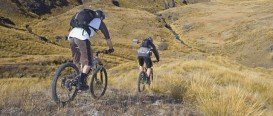
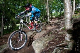
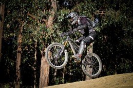
A popular sport at Sonora Pass is mountain biking. There are mountain biking trails along the Sonora Pass highway. You will find everything you need from gentle, railroad grades to steep, single tracks. There are great logging roads, perfect to explore.
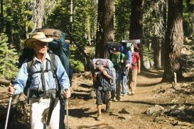
Purchase a map of Stanislaus National Forest at the ranger station in MiWuk or Pinecrest and also a map of Toiyabe National Forest at the Bridgeport ranger station. A favorite trail is Leavitt Lake. It is a one way, 3 mi/4.8 km, moderate trail with elevation gain of 1200 ft/365.8 m.
On the east side of Sonora Pass, on Highway 108 watch out for the Leavitt Lake turnoff at about 4 mi/6.4 km east of the pass. This ride takes you up a dirt road, sometimes muddy in places during spring, to Leavitt Lake at elevation of 9556 ft/2913 m.
This 1 mi/1.6 km side road, that leads to Koenig Lake is worth the try to explore. A sturdy frame and strong forks will serve you very well, especially on some of the rough sections.